AI measures how cities and sports fields are used – without saving images
Municipalities are asking for better knowledge about how people use public spaces. Through AI and thermal cameras, a solution is now being developed that can count people and analyse movement patterns directly in the sensor – without the image data having to leave the site.
Information about how people move can be used in urban planning, at events and to understand how, for example, sports facilities and activity areas are used.
At the same time, integrity is central. Since the work started in 2017, the principle has been that the image analysis should take place directly in the sensor. Image data is not passed on or stored – only processed measured values leave the sensor.
From thermal imaging camera to AI
The first feasibility study was carried out within the City Movements project in Härnösand, where low-resolution thermal cameras were used to count people. In a later project, a prototype was installed in Sollefteå. Traditional image processing worked relatively well, but had difficulty, for example, in distinguishing people who were close to each other.
Since then, AI development has been rapid. AI models can now be run directly on small, energy-efficient platforms and provide a more advanced analysis. A degree project within Forskningsarenan also showed that AI is a promising avenue for the analysis of thermal camera images.
From football pitches to outdoor life
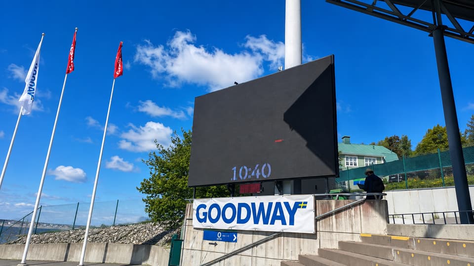
A concrete area of use is artificial turf pitches. At NP3 Arena, Sundsvall Municipality wants to be able to see where the players are and thus where the pitch is worn the most. The information can be used to direct training towards less stressed parts and even out wear.
- The economic benefit is the biggest argument. In the event of uneven wear, maintenance costs increase and the risk that the pitch is not approved for match play, says Henrik Nordberg, unit manager at Arenaservice in Sundsvall municipality.
Örnsköldsvik municipality sees similar opportunities. By measuring flows, the number of visitors and when different places are used, the municipality can get a better basis for investments, management and budget work.
- We want to see flows, how people move to and within an area, the number of people who use an area or a facility and what times of day people are in a place, says Peter Kallin, recreation superintendent in Örnsköldsvik municipality.
Spontaneous sports fields and other areas that cannot be booked are particularly interesting. Outdoor facilities, car parks and events could also be analysed. Throughout the development, the basic principle remains the same: the sensor interprets the image information itself and only transmits the necessary measured values.
More information
The work is carried out within the framework of the research project DIGIT - Sustainable Digital Transformation with support from Region Jämtland Härjedalen, Region Västernorrland and the European Union. Read more about DIGIT here.